Succinctly
Situation and geography
Sachsen-Anhalt borders four neighbouring states: Brandenburg, Saxony, Thuringia and Lower Saxony. In terms of area Sachsen-Anhalt is the eight largest state in Germany and the eleventh largest state in terms of population.
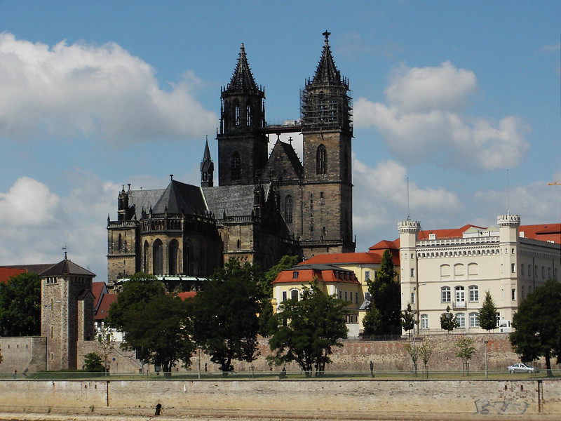
Sachsen-Anhalt has a total area of 20,454 square kilometres with a population of about 2.2 million inhabitants. Whereas the northern parts are only thinly populated, more than 150 inhabitants per square kilometre live in the centre and the south of the state. The capital of Sachsen-Anhalt is Magdeburg (population of about 237.565 inhabitants), a city steeped in tradition. It is the second largest city in the state (at December 2019) after Halle/Saale (population about 238.762 inhabitants). Dessau-Roßlau (80.103 inhabitants)is the headquarters of the Federal Environmental Agency.
The state comprises three urban districts: Magdeburg, Halle, Dessau-Roßlau and eleven rural districts.
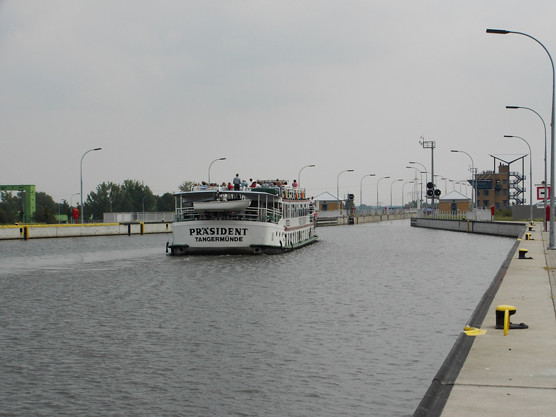
Numerous federal highways (the A2 A 9, A14 and A38 motorways), waterways (the Elbe, the Saale, the Mittelland canal and the Elbe-Havel-canal) and major rail routes run through Sachsen-Anhalt.
Recent years have seen a steady increase in the number of cycle paths. The Elberadweg, for example, runs for about 345 kilometres through Sachsen-Anhalt. Refreshments available along this cycle path include the "Elberadwegteller", a regional dish served with a drink.
Scenery
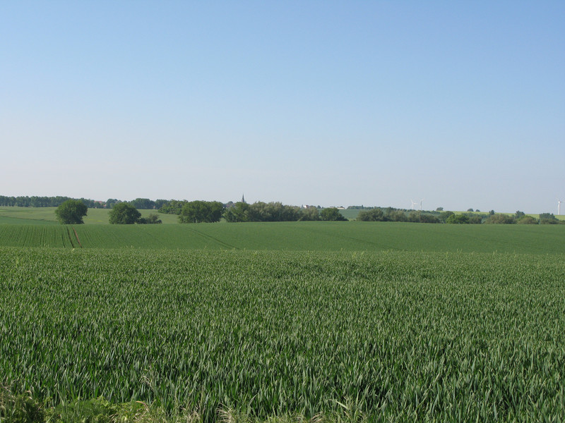
The landscape is very varied. The state extends from the Altmark in the north through the Magdeburg Börde and the Harz low mountain range right up to the Thuringian foothills. Two thirds of the area of Sachsen-Anhalt is agricultural land. The black soils of the Magdeburger Börde are particularly fertile. The soil quality of this region is among the best in the whole of Germany, providing an excellent basis for agriculture in Sachsen-Anhalt and the food processing industry.
At a height of 1,141 metres the Blocksberg is the highest peak of the Harz mountain range. The "Nationalpark Hochharz", the Saale-Unstrut-Tal and the biosphere reserve "Karstlandschaft Südharz" and "Mittlere Elbe" as well as the Naturpark Drömling are extensive nature reserves in which many plants and animals have found their homes.
The Elbe - one of the most important waterways of Central Europe and the main link for inland navigation to the international Port of Hamburg - flows through Sachsen-Anhalt from the south east to the north west, covering a distance of about 303 kilometres.
The largest lake in the state is the Arendsee, which covers an area of 510 hectares.
- The ten largest lakes (german)
(Source: statistical office of Sachsen-Anhalt)
Water
The Elbe - one of the most important waterways of Central Europe and the main link for inland navigation to the international Port of Hamburg - flows through Sachsen-Anhalt from the south east to the north west, covering a distance of about 303 kilometres.
The largest lake in the state is the Arendsee, which covers an area of 510 hectares.
- The ten largest lakes (german)
(Source: statistical office of Sachsen-Anhalt)
The state’s emblems and coats of arms
The state’s coat of arms
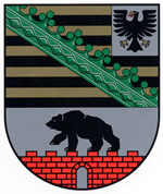
The coat of arms of Sachsen-Anhalt was introduced by a law passed by the State Parliament on 29 January 1991. Click on this link for a detailed description of the coat of arms (german)
The use of the coat of arms is strictly reserved for government bodies. Its use is not permitted for commercial and private purposes.


